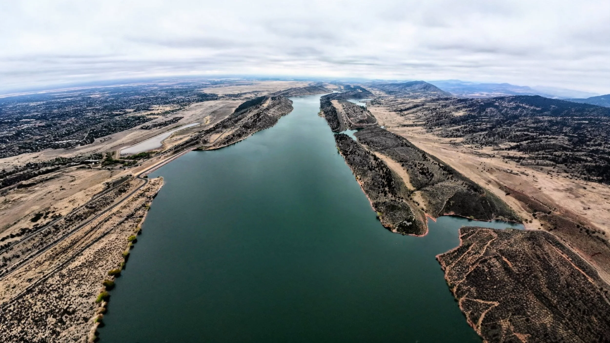
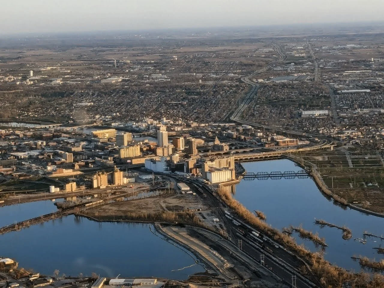
Higher altitudes, larger scope, delivering video and still imagery context beyond the reach of unmanned aerial vehicles.
Aerial Imagery & Survey
Aerial Imagery & Survey
4K video footage delivered for surveyed region of interest at altitudes compliant with FAA regulations.
High resolution custom imagery of regions not accessible to drone operations.
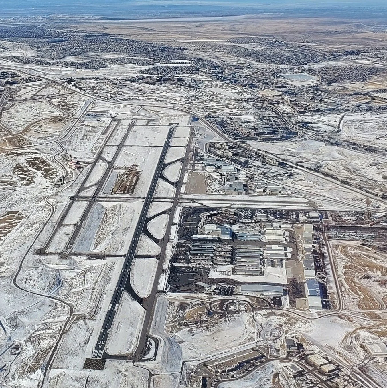
Still imagery obtained for infrastructure survey or project development.
Ready to Collab?
Send a quick note—let’s craft imagery that supports your project.